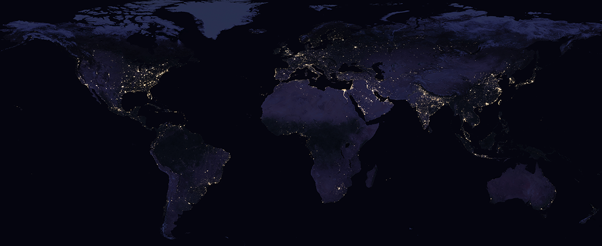
NASA's Remote Sensing Toolkit
The RST was featured in an article on the Performance.gov website that shows the efforts of Federal agencies to improve performance,
cut waste, streamline government, and deliver leaner, smarter and more effective government.

NASA creates sophisticated software to process and analyze the data collected by its remote sensing platforms.
However, the process to find the right combination of data and tools is daunting for many users.
The variety of NASA tools created to access, analyze and utilize the data from these satellites is familiar
to millions of science users, but accessing and utilizing this data remains daunting for many potential commercial
users NASA remote sensing information on data and tools is spread out across dozens of sites.
After reviewing over fifty sources, the NASA Technology Transfer team created the
Remote Sensing Toolkit (RST) to
enable all users to quickly identify relevant sources of information. The RST helps users search for data,
as well as ready-to-use tools and code to build new tools.


